High-resolution aerial photography revealing lot size, water frontage, golf course proximity, neighborhood context, and property boundaries that no ground-level camera can show. FAA-licensed, fully insured, delivered within 24 hours.
(239) 420-0789Aerial photography in Naples FL reveals what ground-level cameras can't — water frontage, dock access, lot size, pool and lanai context, and neighborhood surroundings. FAA Part 107 certification is required for legal drone operation across Collier County — every flight is authorized and insured.
Add to any photo or video package
Everything included — one visit
| Aerial / Drone Photography | +$75 |
| Aerial Drone Video | included with aerial add-on |
| Video Walkthrough | +$125 |
| Twilight / Sunset Photography | +$75 |
| Rush / Same-Day Delivery | +$25 |
Large-scale commercial or land aerial project? Call (239) 420-0789 for a custom quote.
From waterfront estates on Marco Island to golf communities in North Naples — aerial perspective transforms how buyers understand a property.
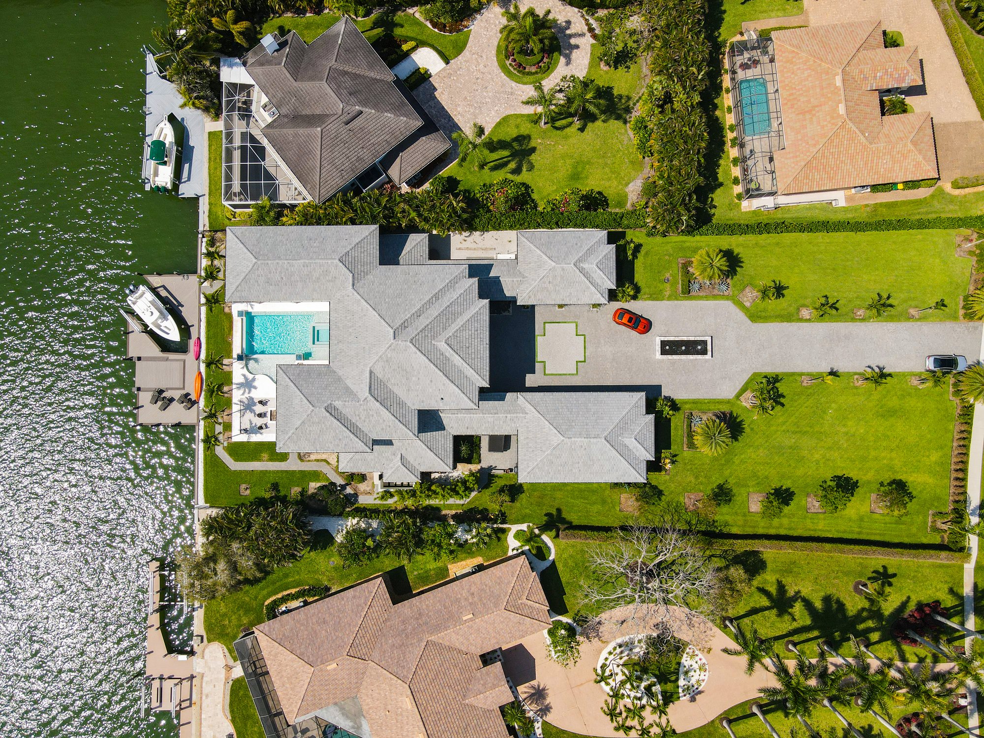
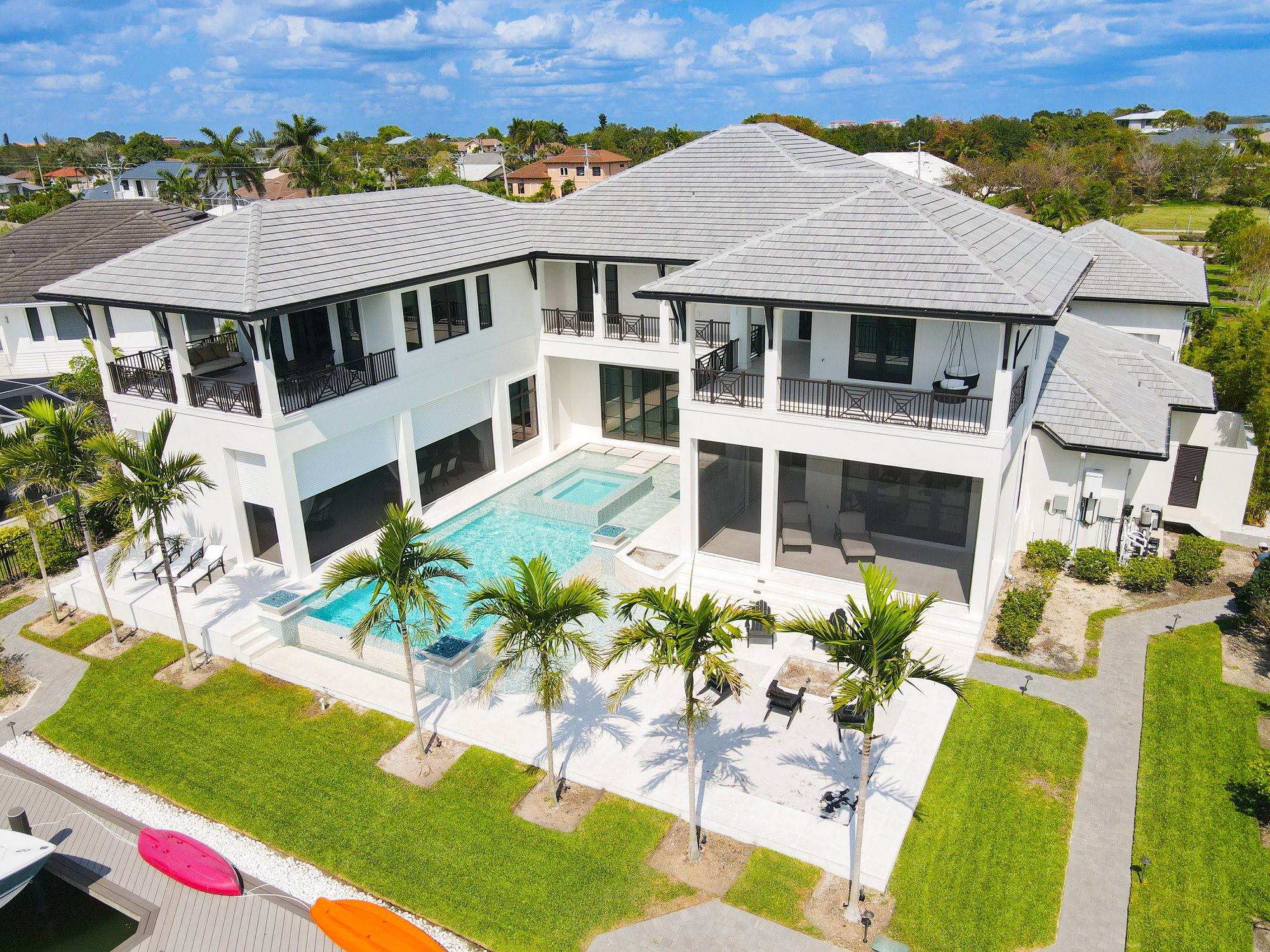
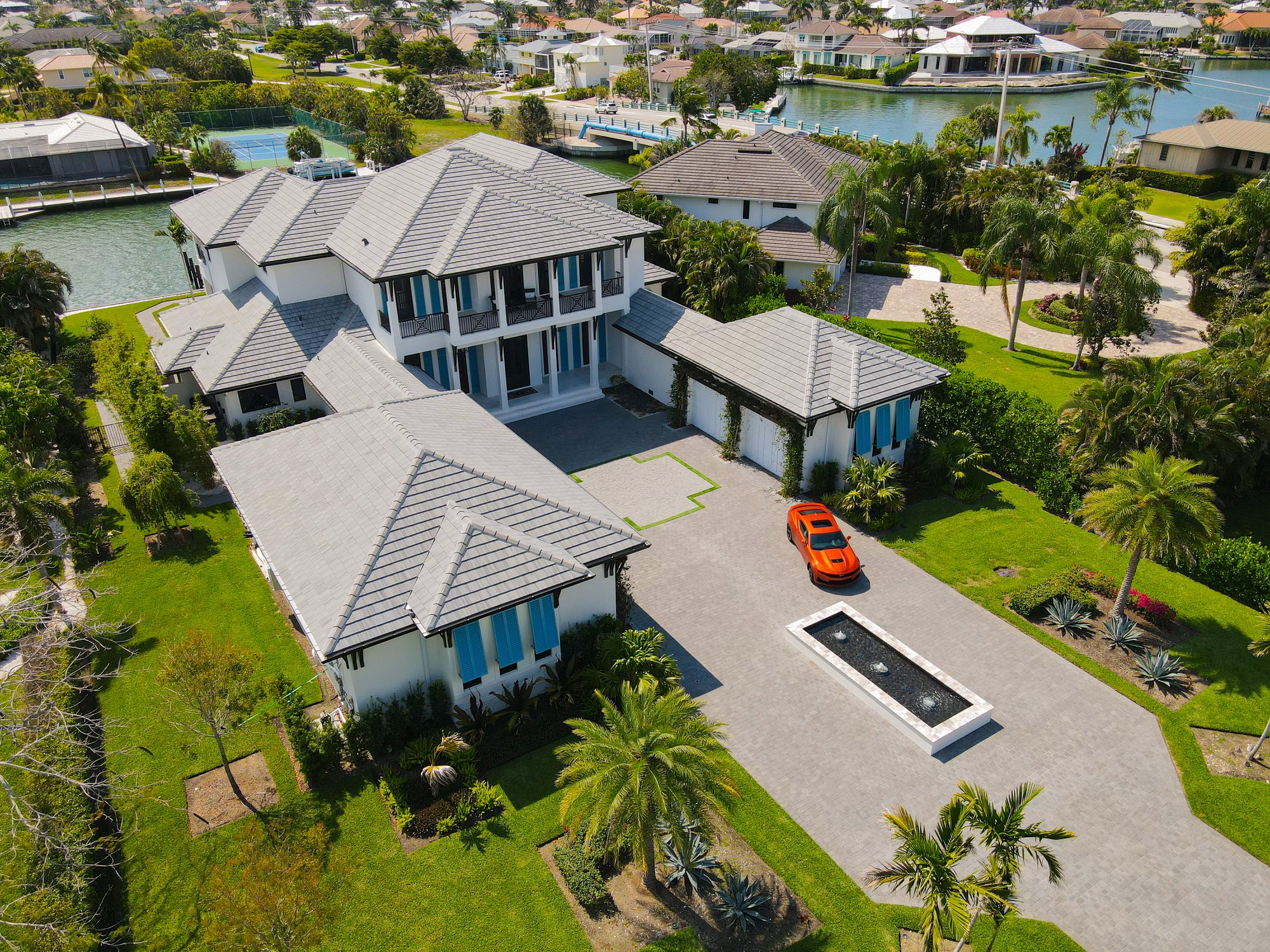
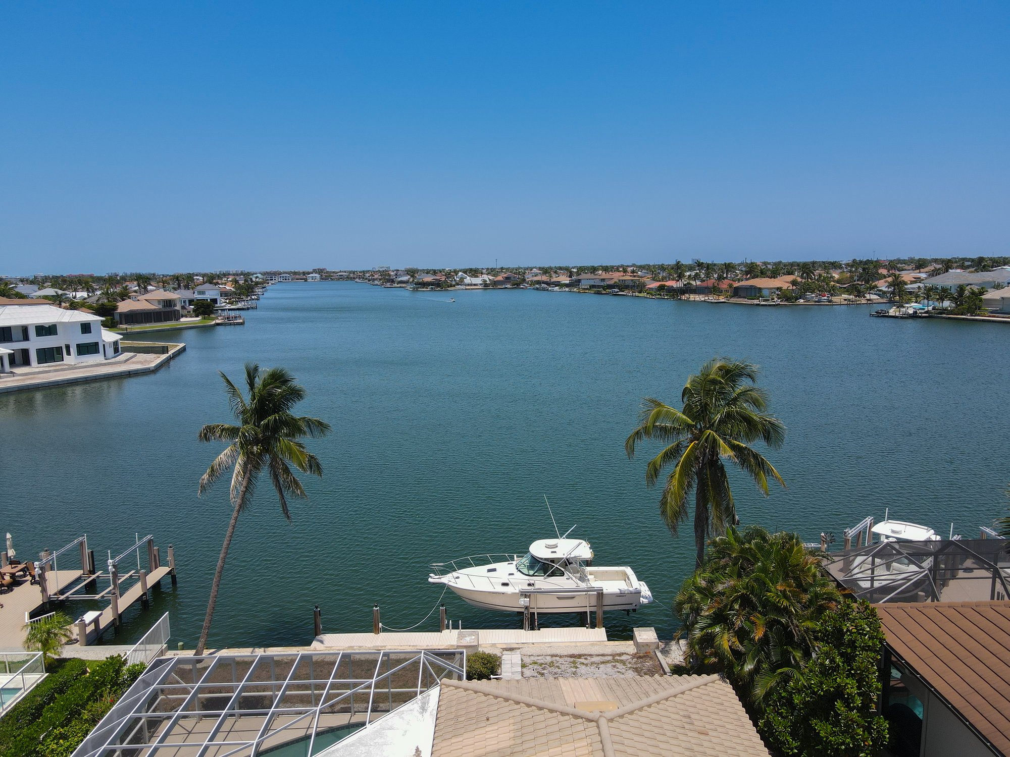
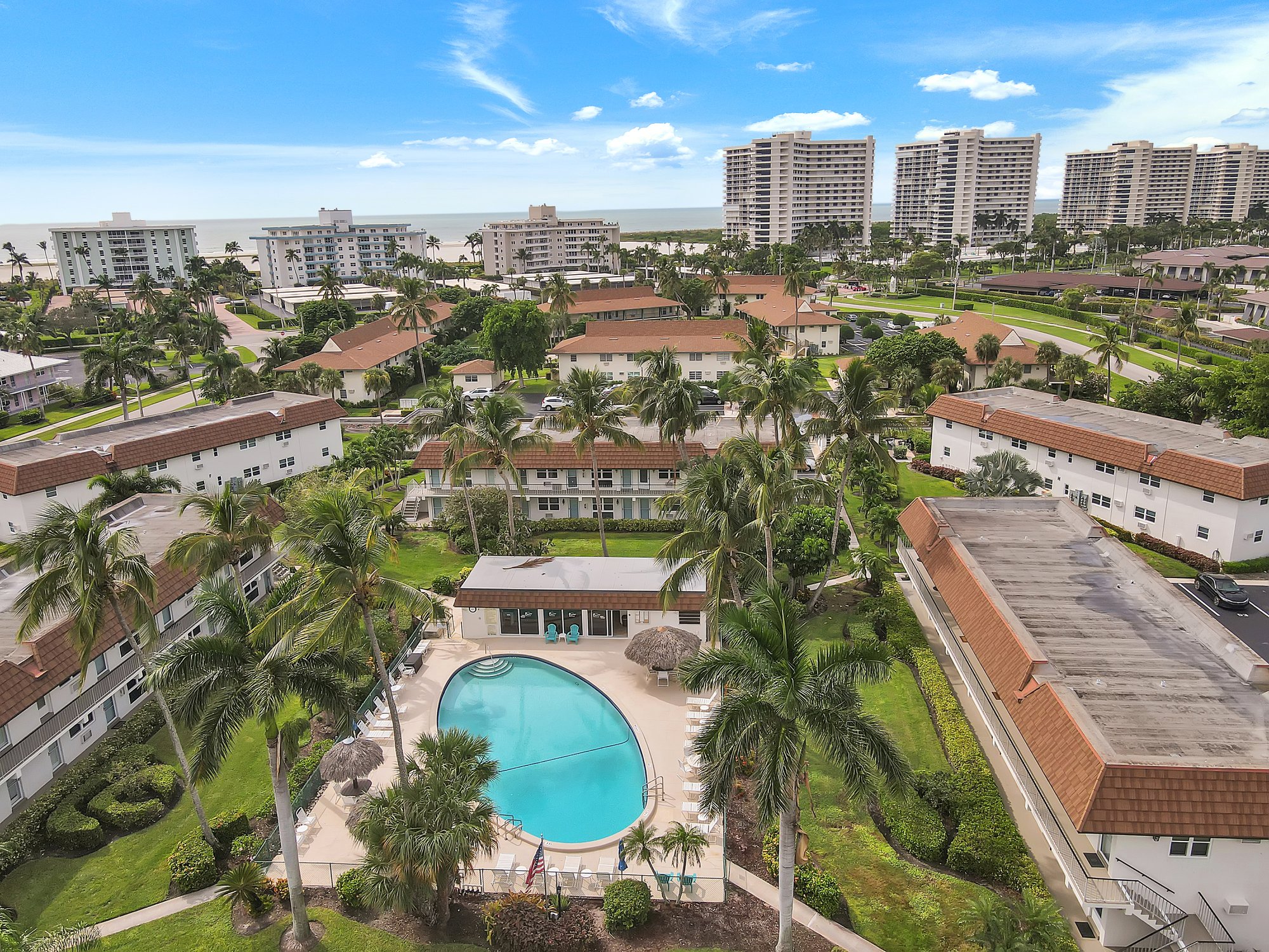
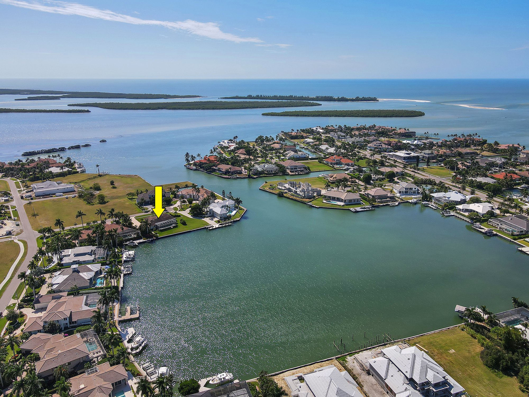
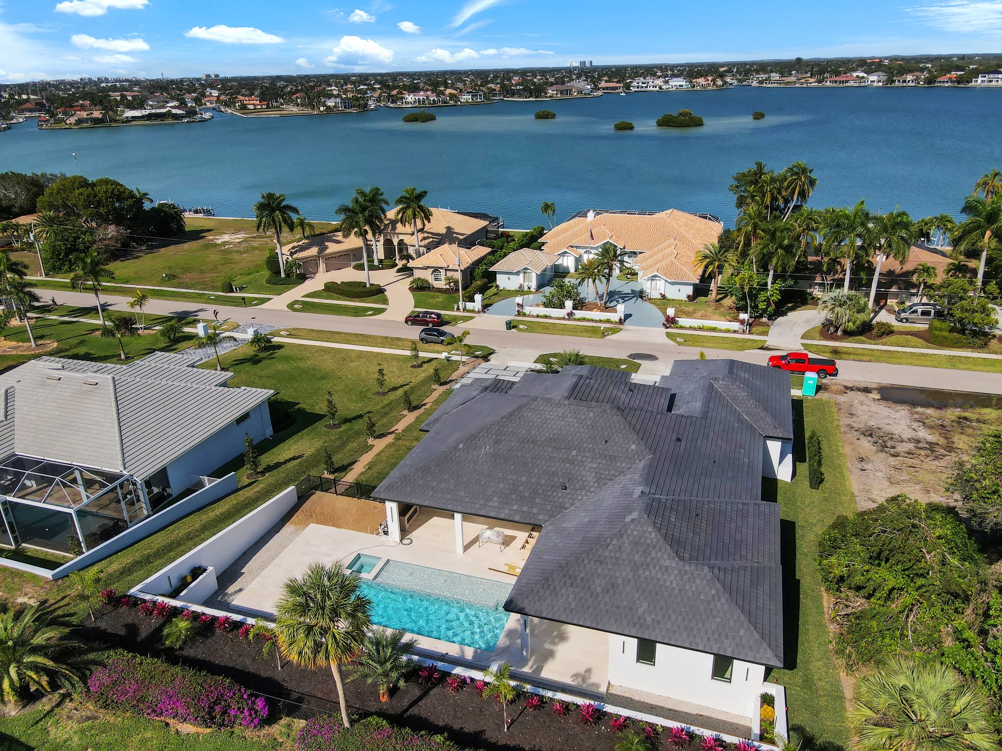
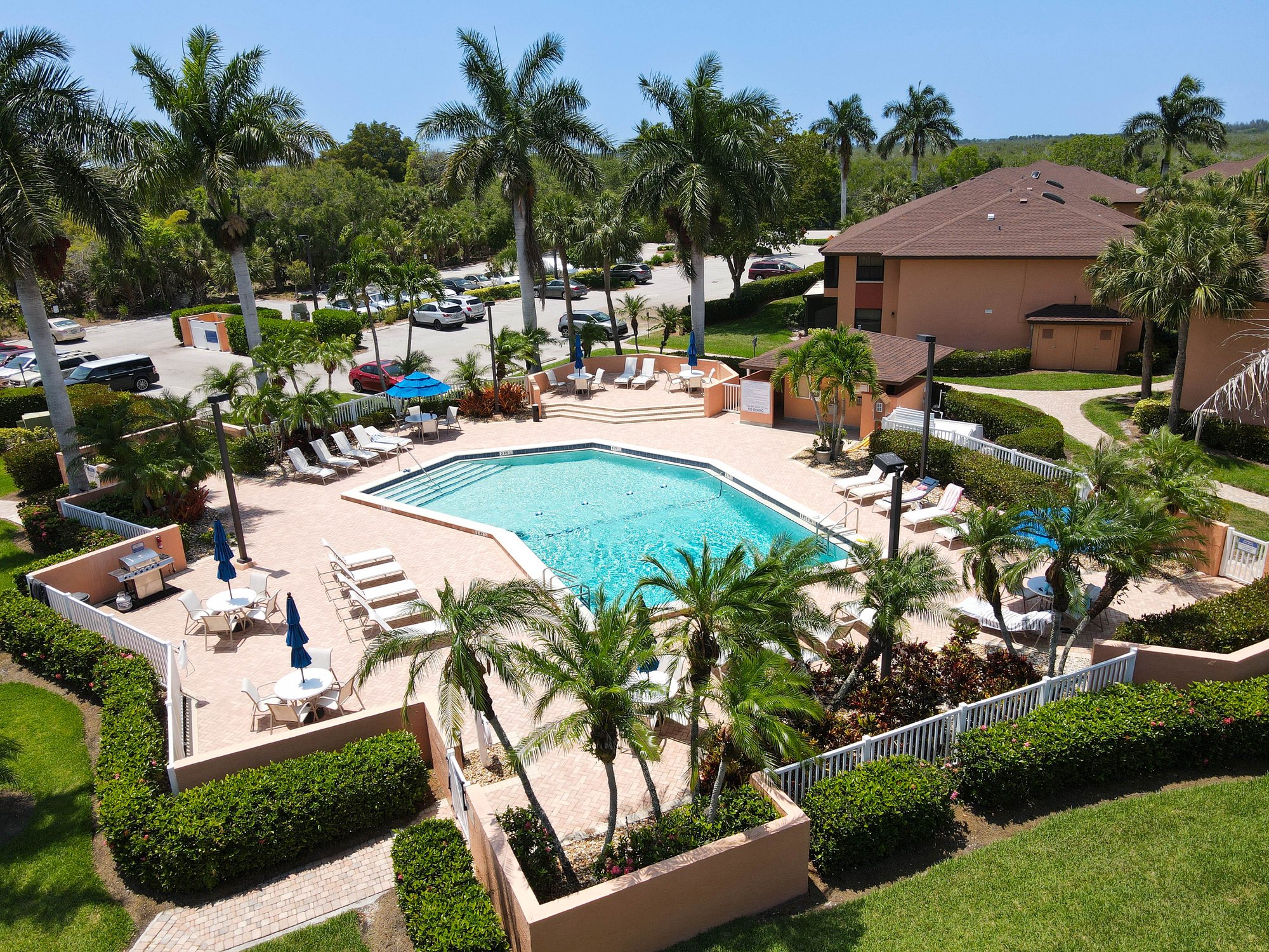
Ground-level cameras show a room. Aerial photography shows a property — its full lot, water access, surroundings, and value context that buyers can't see any other way.
Every aerial flight starts with FAA airspace verification — then full aerial coverage of the property in one efficient visit alongside interior and exterior photography.
Add aerial to your photo package or book the Complete Package. Instant confirmation via the booking form or call (239) 420-0789.
Dan verifies FAA airspace authorization for your exact address. LAANC authorization is filed automatically for controlled airspace near Naples Municipal Airport or Marco Island Airport.
Multiple altitude passes capture the full lot, water frontage, neighborhood context, and aerial detail shots. HDR interior photography happens simultaneously — one visit, complete media.
Exposure correction, sky replacement, color grading, and horizon leveling — every aerial shot processed to professional MLS and marketing standards.
Online gallery link emailed within 24 hours. Download high-res aerial JPGs directly — upload straight to Zillow, MLS, Realtor.com, or LoopNet.
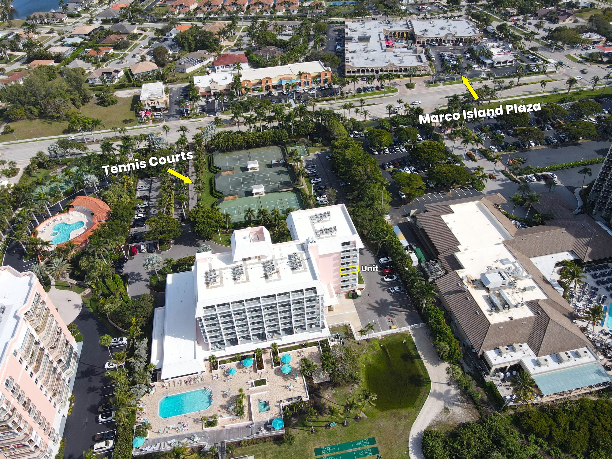
Aerial real estate photography captures your property from above using a drone, revealing the full lot, property boundaries, water frontage, dock access, pool, outdoor areas, and surrounding neighborhood context. It shows buyers what ground-level photography cannot — the property's position, size, and relationship to water, golf, and amenities.
Aerial photography in Naples FL is available as an add-on for +$75 to any shoot, or included in the Complete Package at $300+. Commercial and large-scale aerial projects (land, development, construction) are priced with a custom quote — call (239) 420-0789 to discuss.
Drone photography refers to the equipment and how the shots are taken. Aerial photography describes the perspective and purpose — showing a property from above to reveal lot size, context, and surroundings. TrueVision uses FAA-licensed drone flight to deliver professional aerial photography. The two terms describe the same service.
Yes. High-altitude aerial shots show the full parcel — fences, property lines, adjacent land, canal access, and setbacks are clearly visible. This is especially valuable for land listings, large estate properties, and commercial parcels where lot size and boundaries are a key selling point.
Yes. TrueVision provides aerial photography for commercial real estate (LoopNet, CoStar, broker packages), construction progress documentation, land development overviews, and investor presentations throughout Collier and Lee counties. Call (239) 420-0789 for pricing on large-scale commercial projects.
Yes. Daniel Matus holds an FAA Part 107 Remote Pilot Certificate and carries full liability insurance for every flight. All flights over controlled airspace near Naples and Marco Island airports are authorized via FAA LAANC prior to shooting. You can verify FAA certification before booking.
Standard delivery is within 24 hours — aerial and interior/exterior photos arrive together in one online gallery link. Same-day rush delivery is available for +$25. Files are high-resolution JPGs ready for MLS, Zillow, and all real estate marketing platforms.
TrueVision provides aerial photography across all of Southwest Florida: Naples (North Naples, South Naples, Pelican Bay, Park Shore, Old Naples, Downtown Naples), Marco Island, Bonita Springs, Estero, and surrounding Collier and Lee County communities. No travel fees within primary service areas.
FAA-licensed aerial photography across Collier and Lee counties — waterfront, coastal, and inland properties covered.
No travel fees within primary Naples, Marco Island, Bonita Springs, and Estero service areas.
FAA Part 107 certified · 24-hour delivery · 100+ 5-star reviews · Fully insured
TrueVision Photography · 840 Newell Terrace, Marco Island FL 34145 · daniel@truevisionphoto.com