
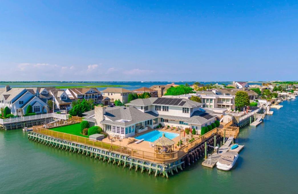
Commercial real estate drone photography in Naples should document access, parking, site circulation, roof and exterior context, neighboring uses, and the property’s relationship to its market—not just produce a dramatic hero image. The best set helps a broker, owner, tenant or investor understand the asset before visiting it.
Start with TrueVision’s commercial real estate photography in Naples and commercial and land aerial photography. Compare the service with our drone real estate photography, the Naples aerial-photography company checklist, and our restaurant and hospitality photography guide. North-county assets can also connect with North Naples photography coverage; current costs are outlined on the photography pricing page.
What should commercial real estate drone photography show?
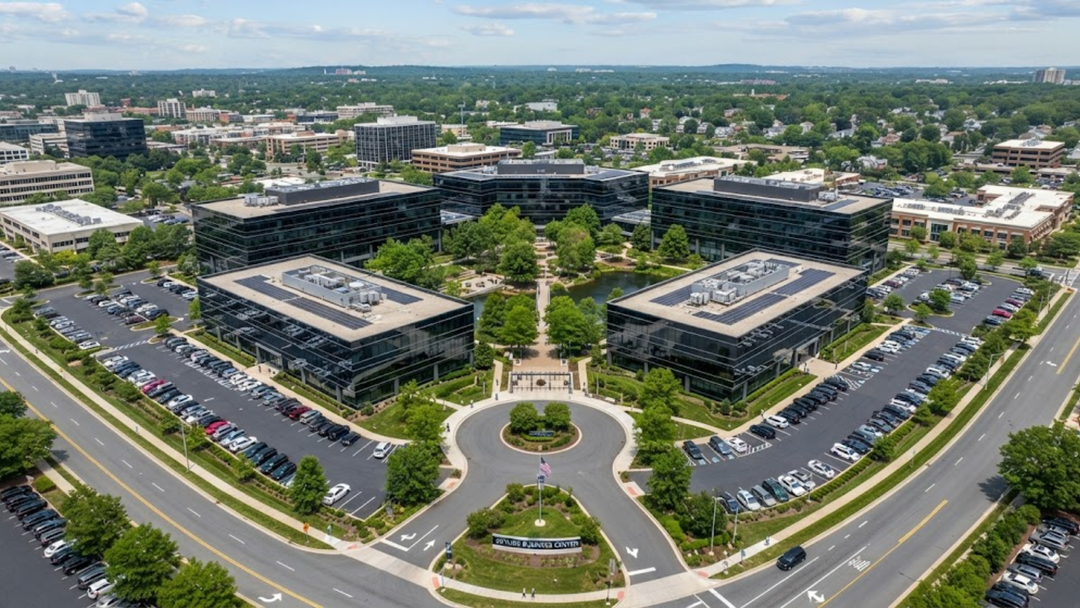
Build the shot list from the transaction or leasing questions. A retail property needs recognizable frontage, ingress and egress, parking flow, monument signage and nearby anchors. An office asset needs arrival, building identity, parking and amenity context. Industrial coverage should explain loading, truck access, yard configuration and the relationship between buildings. Land requires access and context, but photographs must never be presented as a legal survey or boundary determination.
| CRE question | Useful aerial coverage | Pair it with |
|---|---|---|
| How do visitors reach the asset? | Approach, curb cuts, access roads and circulation | Ground-level entrance and signage photos |
| How does the site function? | Parking, loading, service areas and building relationships | Interior and operational-space coverage |
| What surrounds the property? | Adjacent uses, visible corridors and genuine nearby context | A map or verified listing description |
| What is visible on the exterior? | Roof planes, facade and equipment context from safe angles | Qualified inspection when a diagnosis is required |
When does a Naples commercial property benefit most from aerials?
Aerials work hardest when a property’s value depends on site layout, water, frontage, access, parking, multiple structures or proximity to a real destination. Along Tamiami Trail and other busy Southwest Florida corridors, the strongest image usually makes the asset easy to locate without letting traffic overwhelm the subject. For waterfront or marina-adjacent property, show the water relationship accurately rather than using a distant scenic image that loses the building.
If the assignment is recurring construction documentation, use the separate construction drone photography workflow. If the need is a one-time marketing set, our expanded commercial-property drone guide explains how aerials fit beside interiors, exteriors and listing materials.
What legal planning applies to a commercial drone shoot?
The FAA requires work and business flights under Part 107 to be conducted by a certificated remote pilot or under that pilot’s direct supervision. Controlled airspace may require authorization through the FAA Part 107 airspace process. Exact-site screening matters around Naples Airport and elsewhere in Collier and Lee Counties; an app screenshot is not a substitute for authorization.
Public-property or production activity may add local requirements. The current City of Naples film permit application addresses still photography, commercial production and drone work, including advance timing and supporting documents. A private-property marketing shoot with owner permission is not automatically the same situation, so verify the actual launch location and production footprint instead of applying one blanket answer.
How should the aerial files fit a CRE listing campaign?
Choose a clear main image, then sequence frontage, access, site function, building details and surrounding context. The CoStar Marketing Center guide treats professional photography, aerial drone photography, tours and video as distinct media tools. Deliver both web-ready and high-resolution files, descriptive filenames, and a written scope stating which assets and uses are included.
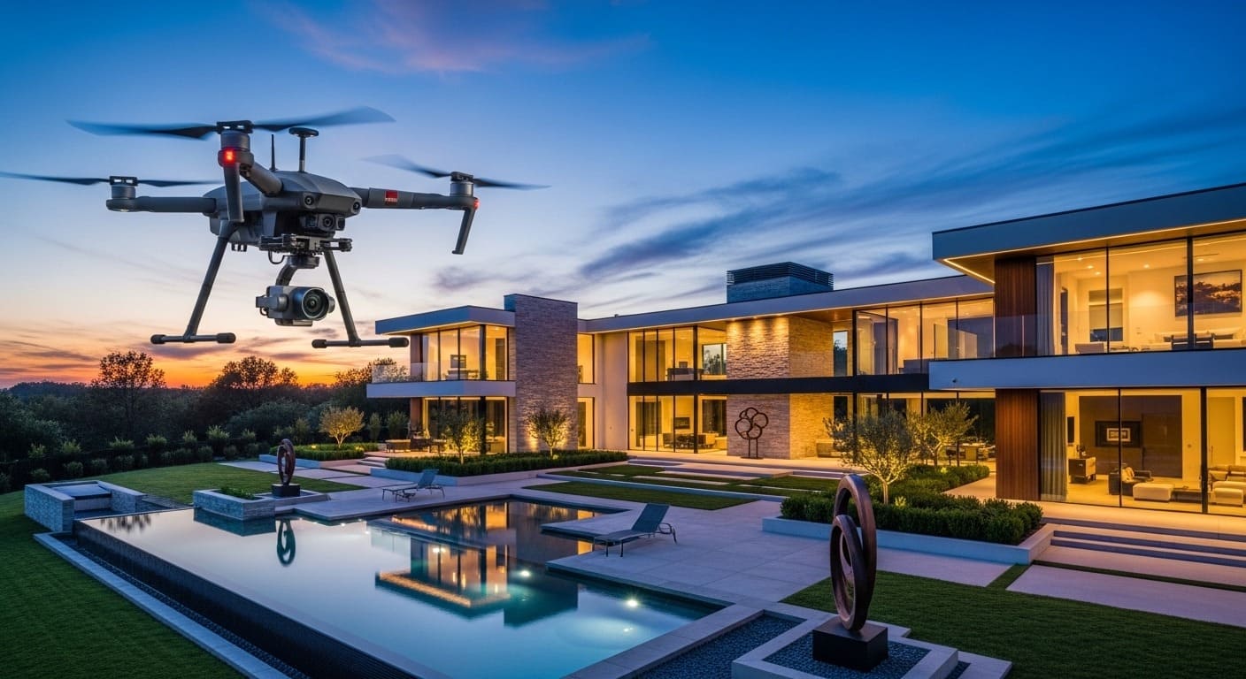
TrueVision’s confirmed drone add-on is +$75 when added to a property photography package. Dedicated commercial assignments are quoted from the actual site, access, airspace, photo/video requirements and usage—not from an invented universal commercial rate.
Commercial real estate drone photography FAQs
Does every commercial property need drone photography?
No. Use it when access, parking, land, roof, multiple structures, water or surrounding context materially affect the asset story. A strong ground set may be more useful for an interior-led suite with little exterior distinction.
Can drone photos show commercial property boundaries?
They can provide visual context and may carry clearly identified marketing annotations, but photography is not a legal survey. Obtain authoritative boundary information from the appropriate recorded documents and qualified professionals.
Can a drone photograph a commercial roof?
A drone can document visible roof surfaces and equipment from safe, authorized positions. The images do not by themselves diagnose concealed conditions or replace a licensed roofer, inspector or engineer when a professional conclusion is required.
How do I prepare a Naples commercial site for a drone shoot?
Provide the exact address, site contact, access rules, active operations, desired viewpoints, delivery deadline and intended use. Identify sensitive areas, moving equipment and any public-property activity before the pilot finalizes the flight plan.
Regulatory, platform, safety, and permitting sources were checked on August 5, 2026. Confirm site- and account-specific requirements before capture or upload.
Make the complete commercial site understandable before the first tour. Review our Google Business Profile. Call 239-420-0789, request a photography quote, or compare our published photography packages and pricing.
