
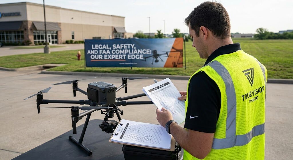
Do you need permission to fly a drone for real estate photography in Naples, FL? Yes — any drone flight for a paid listing requires the operator to hold an FAA Part 107 Remote Pilot Certificate, and flights in controlled airspace near Naples Municipal Airport need FAA authorization before takeoff. The good news for agents and homeowners: none of that paperwork is yours. When you hire a licensed operator like TrueVision Photography, certification, airspace authorization, and flight compliance are all handled for you.
Who Actually Needs a Drone License
The FAA draws one clear line: if a flight supports a business purpose — marketing a listing, documenting a build, promoting a rental — it is a commercial operation and the pilot must hold a Part 107 Remote Pilot Certificate. A neighbor with a hobby drone cannot legally shoot your listing, even for free, because the flight still serves a commercial purpose. Before any drone appears over a property you represent, the only question you need to ask is: are you Part 107 certified, and is this airspace cleared?
Naples Airspace: Why Location Matters
Much of Naples sits inside or near controlled airspace around Naples Municipal Airport, and parts of coastal Collier County carry their own restrictions. Flying legally there requires FAA airspace authorization — typically granted through the FAA’s LAANC system — before the drone leaves the ground. This is routine for a certified operator and invisible to you as the client: TrueVision obtains pre-authorization for flights in controlled areas around Naples and Marco Island as part of every booking.
Beaches, Waterways, and Wildlife Areas
Southwest Florida’s most photogenic settings — beachfronts, canals, mangrove edges — are also its most regulated. Waterfront flights may need additional pre-authorization, and federal rules restrict flight over gatherings of people, which matters on public beaches in season. An experienced local pilot plans shot angles and flight paths around these constraints so waterfront listings still get the full aerial treatment, legally.
HOAs, Privacy, and Neighbors
Florida law and common courtesy both apply below the airspace rules. Gated communities and HOAs sometimes have their own drone policies, and thoughtful operators avoid capturing neighboring homes in identifiable detail. A quick heads-up to the HOA office and adjacent neighbors before a scheduled flight prevents nearly every complaint — something we build into shoot planning for community-heavy areas like Pelican Bay and Bonita Bay.
What to Verify Before You Hire
Ask for three things: a current FAA Part 107 certificate, confirmation the operator obtains airspace authorization where required, and liability insurance for the flight. When the answer to any of these is vague, keep looking. For construction and commercial work there are additional considerations — our construction drone photography page covers what builders look for in a recurring flight program.
Why Compliant Drone Photography Is Worth It
Aerial shots consistently make listings stand out — they show lot size, water frontage, and neighborhood context no ground photo can. See how drone photography attracts more buyers and tenants and the full benefits of aerial photography for real estate.
What altitude is best for real estate drone photography?
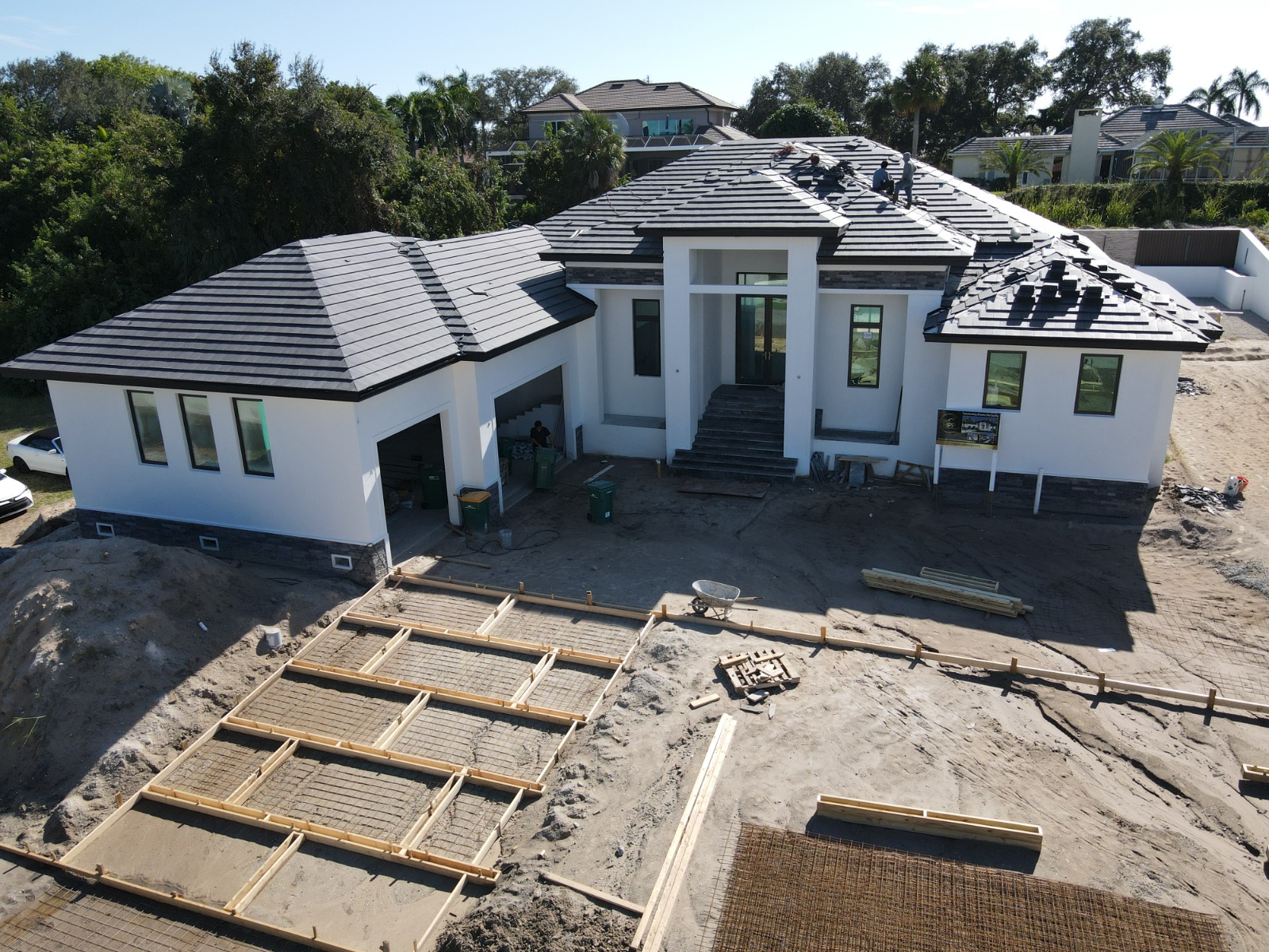
Begin low enough to preserve the facade, materials, landscaping and human-scale arrival. Move higher or farther only when the next frame needs to explain lot layout, a dock, pool, multiple structures, access, acreage or true neighborhood context. A 400-foot legal ceiling is not a creative target. Many useful property images are made well below it because the home must remain recognizable.
| Coverage layer | Question answered | Common failure |
|---|---|---|
| Low facade | What does arrival and architecture look like? | Flying high enough to show mostly roof |
| Oblique whole-property | How do home, lot and outdoor features relate? | Cropping out access or key amenities |
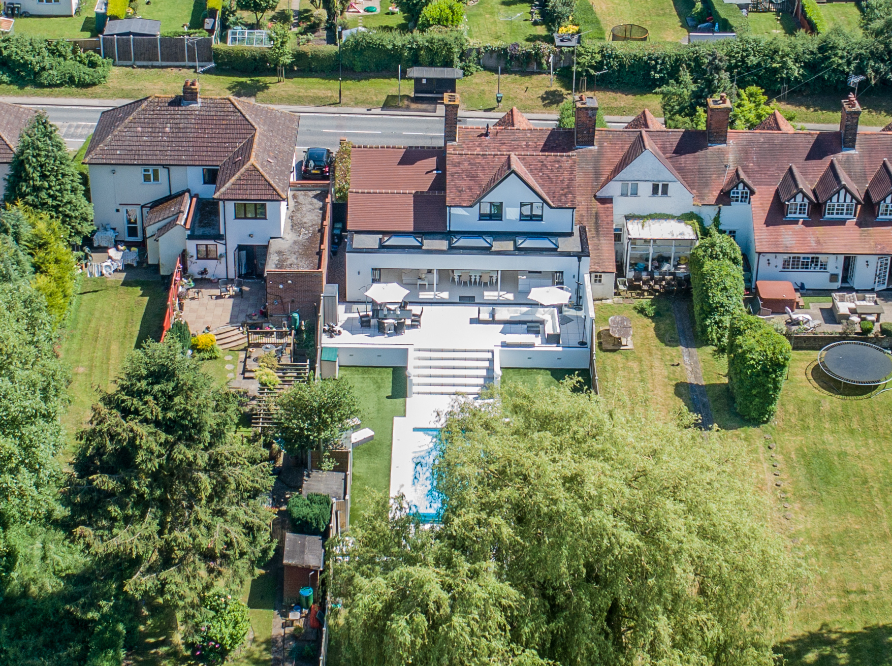
| Overhead/top-down | How is the site arranged? | Using it decoratively when the layout adds nothing |
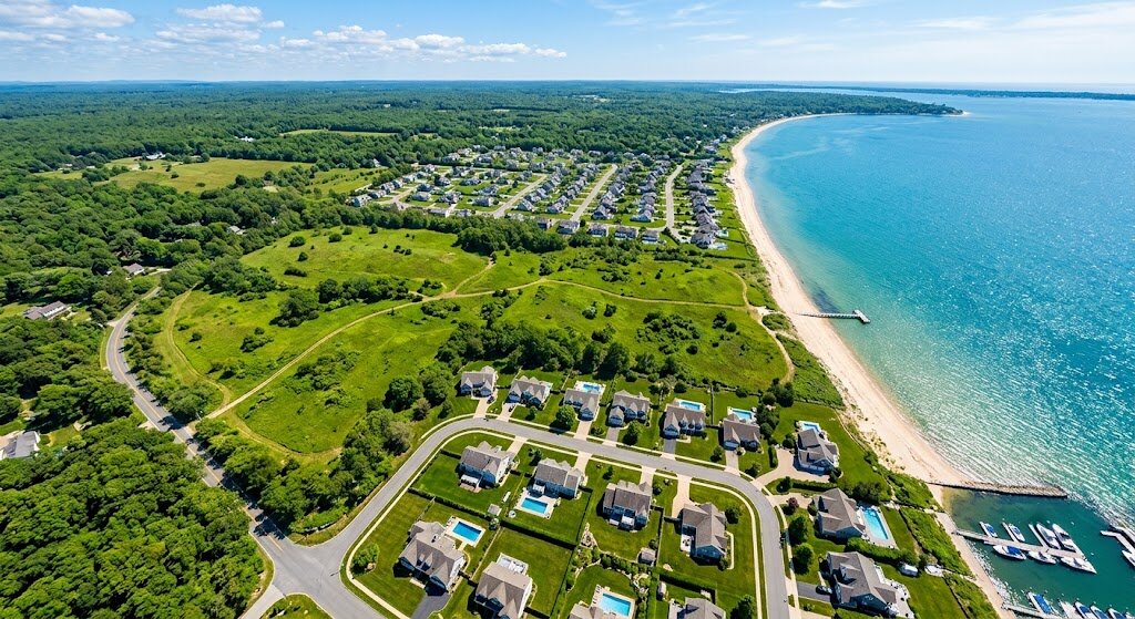
| Context view | How does the property relate to water, golf, access or genuine amenities? | Making the property tiny or implying false proximity |
| Detail coverage | Which roof, facade, dock or site element needs closer reference? | Treating a marketing image as a formal inspection |
What does FAA Part 107 allow?
Current 14 CFR §107.51 says a small unmanned aircraft generally cannot fly higher than 400 feet above ground level. It provides a structure exception when the drone stays within a 400-foot radius of the structure and no more than 400 feet above that structure’s immediate uppermost limit. The rule also sets visibility, cloud-distance and speed limits.
The FAA commercial-operator guidance still requires the pilot to know and follow the complete Part 107 framework. Controlled airspace can impose a lower authorized ceiling or require approval through the FAA airspace-authorization process. The usable altitude for a Naples address is therefore the lowest of the creative need, operational safety and legal authorization.
How much aerial coverage should a listing receive?
A concise Southwest Florida property set normally needs several different answers, not many near-duplicates. Capture the strongest low facade, a whole-property oblique from useful directions, an overhead only if layout matters, one or more genuine context views, and requested details. Remove frames that repeat the same information. The gallery becomes clearer as the viewer advances, not simply higher.
For Port Royal, Park Shore, Vanderbilt Beach and Marco Island, water and dock context justifies broader coverage. For a dense interior lot, it does not. Commercial sites should use the separate commercial drone shot framework; roof documentation should follow the drone roof imagery limits instead of a listing-only shot list.
Can a drone image show property lines or proximity?
A photograph can show visible context and can carry clearly labeled marketing callouts based on authoritative client-supplied information. It is not a legal survey. Avoid drawing estimated boundaries as facts, exaggerating proximity through selective angles, or hiding material surrounding conditions. Pair aerial imagery with verified listing details and appropriate records.
Conclusion
Drone rules in Southwest Florida come down to one decision: hire a certified operator and the rules become their job, not yours. TrueVision Photography is FAA Part 107 certified, insured, and flies Naples, Marco Island, Bonita Springs, and Estero daily. Book a drone shoot or call 239-420-0789.
