
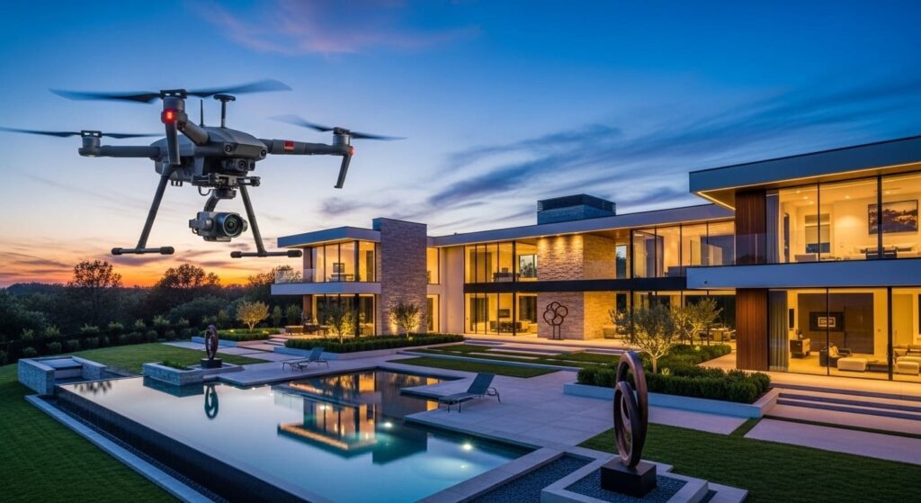
Drone photography improves commercial property marketing when each image answers a site question: where the asset sits, how customers or trucks enter, how parking and circulation work, what surrounds it, and which exterior relationships matter. In Naples, useful aerial coverage complements ground interiors and exteriors instead of becoming a folder of distant scenic views.
Expand the campaign through commercial real estate drone photography in Naples, commercial property photography and commercial aerial photography. Use construction drone documentation for recurring work, North Naples photography coverage for local routing, and pricing plus contact for the quote.
See our commercial real estate photography guide, which shows how aerial imagery complements a broader media strategy. Drone imagery provides dynamic aerial perspectives that highlight property location, surrounding infrastructure, and development potential in ways traditional ground-level photography cannot. By revealing property layout, boundary lines, and scale in a single, cohesive view, our aerial content enhances property presentations across MLS listings, digital brochures, and investor pitch decks. Explore our drone photography services to see how we tailor these perspectives to your specific property type.
The Role of Drone Photography in Modern Commercial Real Estate
Today’s commercial market is increasingly visual. Investors and tenants research listings thoroughly online before scheduling a site visit. Because first impressions define the trajectory of a sale or lease, high-quality drone imagery serves as your most effective marketing tool.
We capture how a property integrates with its environment—highlighting proximity to major highways, industrial access points, retail centres, and essential local amenities. For example, a retail space gains significant value when drone visuals clearly demonstrate its visibility to high-traffic intersections. We turn complex assets such as industrial parks, retail centres, and large-scale multi-family developments into simplified, easy-to-understand visual narratives. Beyond drone work, we also offer a wide range of commercial photography options for owners to ensure your entire portfolio looks its best.
Key Benefits of Drone Photography for Commercial Properties
Showcasing Property Size and Layout
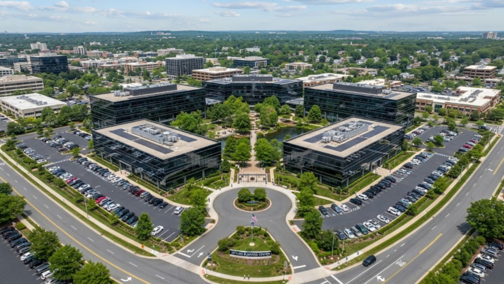
Our drone photography captures the full scope of your commercial property from above. We highlight building dimensions, loading zones, parking capacity, and adjacent infrastructure with absolute precision. This clarity helps prospective tenants and investors instantly grasp the property’s configuration, which minimises confusion and builds trust.
Highlighting Location and Surrounding Infrastructure
We use aerial flyovers and panoramic shots to emphasise strategic location advantages. By showing the property in context with nearby commercial landmarks, traffic flow, and regional connectivity, we provide the evidence investors need to validate their decision-making.
Creating High-Impact Marketing Materials
We elevate your entire marketing suite with 4K Ultra HD content. Our professional editing process ensures your media stands out on social media, websites, and high-end print materials. Whether we are producing a sweeping cinematic flyover or detailed still photography, our work is designed to drive engagement.
Attracting More Qualified Buyers and Tenants
When you provide detailed aerial insights upfront, you eliminate the guesswork for interested parties. Providing clear visuals of lot size, infrastructure, and property layout acts as an effective filter, ensuring that the inquiries you receive come from buyers and tenants who already understand and value the property’s unique features. We consistently see that drones that attract more buyers and tenants provide a much higher return on investment than static ground photos.
Reducing Time on Market
Properties marketed with high-quality drone visuals naturally attract more attention and engagement. Faster engagement leads to quicker showings and higher-quality offers.
Types of Drone Media Used in Commercial Marketing
Different properties require different strategic visual tools. We utilise several formats to maximise your ROI:
| Media Type | Primary Use | Key Benefit |
| Aerial Photography | Property overviews | Clear visualisation of size, scale, and layout |
| Aerial Video Tours | Marketing campaigns | Engaging, cinematic presentation |
| 3D Mapping | Development planning | Detailed structural insights for investors |
| Hotel/Resort Coverage | Location branding | See our aerial vs drone hotel coverage for a side-by-side comparison. |
| Roof Inspections | Property assessment | Identifies maintenance needs early |
Best Practices for Using Drone Photography
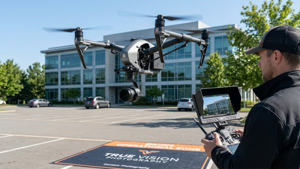
To maximize your marketing ROI, we adhere to strict quality standards. Furthermore, if your commercial project involves new development or renovation, we recommend using drone tips for construction sites to document progress and create compelling “before and after” narratives for your investors.
- Optimal Timing: We schedule shoots during the “golden hour” to maximize depth, texture, and natural lighting.
- Comprehensive Coverage: We capture multiple angles and high-resolution perspectives.
- Strategic Framing: We focus on the features that matter most to commercial prospects: parking, signage, loading docks, and road frontage.
Legal and Safety Considerations
At True Vision Photography, we prioritize safety and regulatory compliance. All our operations are conducted by licensed pilots who hold current FAA Part 107 certifications. We proactively verify airspace restrictions and secure necessary authorizations for every location we shoot, ensuring your project proceeds without liability or logistical issues.
Which commercial property questions should drone photography answer?
| Question | Aerial coverage | Ground companion |
|---|---|---|
| How is the asset identified? | Readable building, frontage and signage | Entrance and facade details |
| How does access work? | Curb cuts, roads, parking and loading flow | Wayfinding and entry views |
| How does the site function? | Building, yard, parking and neighboring relationships | Representative functional interiors |
| What context matters? | Genuine visible corridors, water or adjacent uses | Verified listing description or map |
How should a Naples commercial drone set be delivered?
Sequence the files from strongest identifier through frontage, access, site function, relevant exterior detail and surrounding context. Deliver web-ready and high-resolution versions with descriptive filenames. When callouts are requested, use authoritative client-supplied information and label them as marketing annotations rather than presenting estimated boundaries as surveyed facts.
The CoStar Marketing Center guide treats professional photography and aerial drone photography as separate media tools. Flights for work or business follow the FAA Part 107 framework, with airspace authorization where required.
Commercial property drone photography FAQs
Does every commercial property need drone photography?
No. Use it when access, parking, land, roof, multiple structures, water or surrounding context affect the decision. Interior-led suites gain more from strong ground photography.
Can commercial drone photos show roof condition?
They can document visible roof surfaces and equipment, but qualified professionals must provide any diagnosis, inspection or engineering conclusion.
Can aerials show parcel boundaries?
They can carry clearly identified callouts based on authoritative information, but the photograph itself is not a legal survey.
How is dedicated commercial drone work priced?
TrueVision publishes a +$75 drone add-on for property packages. Dedicated commercial work is quoted from site, access, airspace, deliverables, usage and timing.
Turn the commercial site into an ordered visual explanation, not a collection of high angles. Call 239-420-0789, request a photography quote, or compare our commercial photography package prices.
When does a Naples commercial property benefit most from aerials?
Aerials work hardest when a property’s value depends on site layout, water, frontage, access, parking, multiple structures or proximity to a real destination. Along Tamiami Trail and other busy Southwest Florida corridors, the strongest image makes the asset easy to locate without letting traffic overwhelm the subject. For waterfront or marina-adjacent property, show the water relationship accurately rather than using a distant scenic image that loses the building.
For recurring construction documentation, use the separate construction drone photography workflow. For a one-time marketing set, our expanded commercial-property drone guide explains how aerials fit beside interiors, exteriors and listing materials.
How should the aerial files fit a CRE listing campaign?
Choose a clear main image, then sequence frontage, access, site function, building details and surrounding context. The CoStar Marketing Center guide treats professional photography, aerial drone photography, tours and video as distinct media tools. Deliver both web-ready and high-resolution files, descriptive filenames, and a written scope stating which assets and uses are included.
TrueVision’s confirmed drone add-on is +$75 when added to a property photography package. Dedicated commercial assignments are quoted from the actual site, access, airspace, photo/video requirements and usage—not from an invented universal commercial rate.
How should property managers use repeatable drone photography?
Define fixed viewpoints and directional coverage for each asset. Repeat the same roof planes, parking areas, access points, facades and broader context when the purpose is comparison. Store marketing selects separately from the reference set. A repeatable series makes a visible change easier to find than a larger folder of unrelated angles.
| Use | Capture priority | Decision supported |
|---|---|---|
| Leasing/marketing | Best current site, access and exterior context | How should the asset be presented? |
| Baseline | Consistent overviews and labeled details | What was visibly present at the starting date? |
| Capital work | Repeated milestones and work areas | What visible progress occurred? |
| Incident | Wide context followed by clear details | What visible condition should be preserved for review? |
What are the limits of property-management aerial imagery?
Aerial photos record visible surfaces. They do not see concealed systems, establish legal boundaries, prove causation or replace a qualified roof, engineering, inspection or insurance conclusion. Ask the professional who will use the images which views, labels and file attributes are required before capture.
The FAA commercial framework applies to work or business flights, and exact-site controlled airspace can require authorization. For organized condition evidence, FEMA’s proper-photograph guidance emphasizes clear images, dates, locations, descriptions and both damaged and undamaged conditions.
Aerials are only part of a commercial listing package: the portals themselves set image counts, dimensions and ordering. Those specifications are collected in LoopNet and CoStar photo requirements for CRE listings.
Conclusion
Professional drone photography is no longer a luxury; it is a proven commercial asset. By showcasing the true scale and location benefits of your property, we give you a distinct competitive advantage. Whether you are marketing a single retail space or a massive industrial complex, our aerial services simplify the complex and help you close deals faster.
